
 De
De  Es
Es  Fr
Fr  Pt
Pt 

nanoCAD Platform Help
-
-
-
-
-
-
-
-
-
-
-
-
-
-
-
-
-
-
-
-
-
-
-
-
-
-
-
-
-
-
-
-
-
-
-
-
-
-
-
-
-
-
-
-
-
-
-
Information About Coordinate Systems
-
Information About Coordinate Systems
 Ribbon: Topoplan – Settings >
  Information About Coordinate Systems
Menu: Topoplan – Settings >  Information About Coordinate Systems
Toolbar: Topoplan Settings >  Information About Coordinate Systems
 Command line: NG_CRS_INFO
Viewing information about all available coordinate systems, including user-created ones.
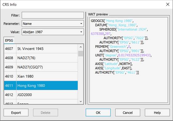
By selecting a coordinate system from the list of available ones, it is possible to export the selected SC to files in .prj, .wkt, .proj format, or delete the selected SC.