-
-
-
-
-
-
-
-
-
-
-
-
Vegetation by Height
-
-
-
-
-
-
-
-
-
Vegetation by Height
 Ribbon: 3DScan – Classification >
  Classify Vegetation by Height
 Menu: 3DScan – Classification >
  Vegetation by Height
 Toolbar: Classification 3DScan >
  Vegetation by Height
 Command line: PC_CLS_BY_HEIGHT_FROM_GROUND
The command classifies points located in the given altitude range relative to the ground surface. Values are set in the units of drawing.
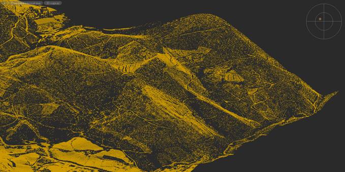
Only ground surface points
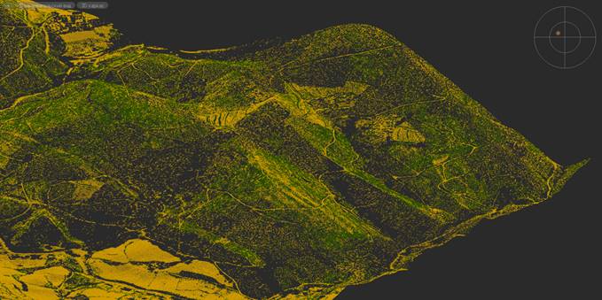
Ground surface points with low vegetation points
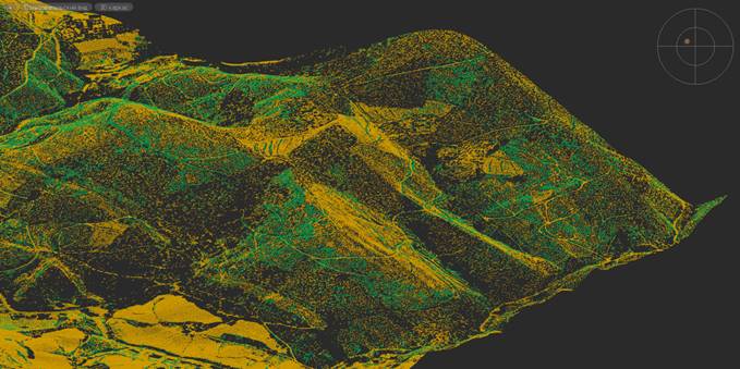
Ground surface points with average vegetation points
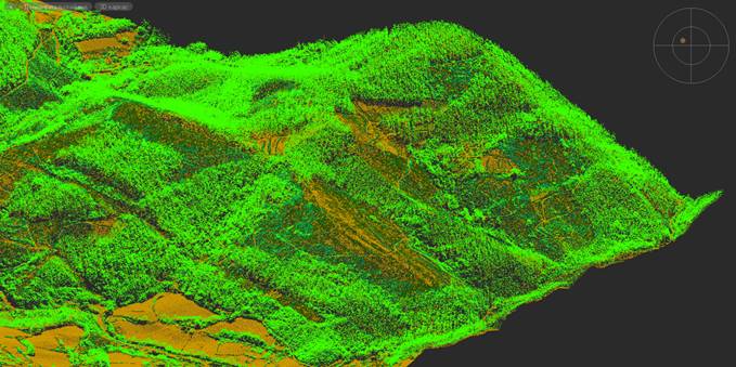
Ground surface points, points of low, average and high vegetation
This procedure can be used not only to classify vegetation, but also to classify any objects by height from the ground surface: low constructions, high-rise buildings, power lines, pipes, etc.
An existing triangulation mesh (TIN) must be specified as the ground level relative to which the classification should be performed. Such a mesh can be generated earlier with the Classify Ground or Create TIN command.
The command options are set in the Properties bar.
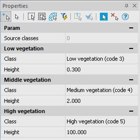
Options:
|
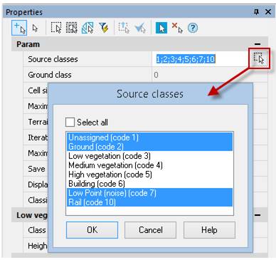
Source classes |
The classes that will be involved in the classification. Points of other classes are not subject to reclassification. The list opened by the
|
|
Destination Class |
Destination class for the low, medium or high vegetation. The |
|
Height |
Height level for the low, medium or high vegetation in drawing units. |
Command prompts:
|
Apply changes? <Yes> or [Yes/No/Save/saveDefault] <Yes>: |
Yes – the command will be performed taking into account changes in the settings made by the user in the current session of the command work. No – the command will be performed with the settings displayed immediately after running the command. Save – saving settings to a document. saveDefault – saving settings to the registry. |


 De
De  Es
Es  Fr
Fr  Pt
Pt 

 , button displays all classes of the current point cloud.