
 De
De  Es
Es  Fr
Fr  Pt
Pt 

-
-
-
-
-
-
-
-
-
-
-
-
-
-
Meshes
-
-
-
-
-
-
-
-
Meshes
Triangular Irregular Networks (TINs) have been used in GIS for many years and are a way of digitally representing surface structure. A TIN is a form of vector digital geographic data that is constructed by triangulating a set of vertices (points). Vertices are connected by a series of edges to form a network of triangles. Various interpolation methods exist for forming these triangles, such as Delaunay triangulation.
The created surfaces can be represented by objects of the type SubMesh, PolyFaceMesh type, a set of Solids, or a set of 3D Faces.
The properties of SubMesh and PolyFaceMesh objects can be edited in the Properties bar. The Name and Description properties are available for modification. When copying an object, its Name and Description fields will also be copied to the new object. The Number of Vertices and Number of Faces properties are informational.

Command Settings in the Properties Bar
Many point cloud commands display their parameters and allow them to be adjusted on the Properties bar without displaying a separate dialog.
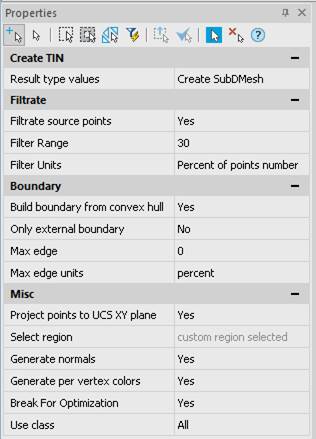
If the Properties bar was not open, it will be displayed automatically during command start.
At this time the command line displays a prompt:
|
Apply changes? <Yes> or [Yes/No/Save/saveDefault] <Yes>: |
Yes – the command will be performed taking into account changes in the settings made by the user in the current session of the command work. No – the command will be performed with the settings displayed immediately after running the command. Save – saving settings to a document. saveDefault – saving settings to the registry. |
Change the settings, if necessary, and continue with the command by pressing ENTER or selecting Yes in the command line.
If the display of dialog boxes has been disabled by the CMDDIA variable, the command options will be shown in the command line one by one.