Topoplan Features
.png)
Advanced surface creation
The Topoplan Module creates surfaces by several methods:
- Create TINs by points
- Explode clouds into points
- Import elevation grids
- Convert models to 3D faces, submeshes, and polyface meshes
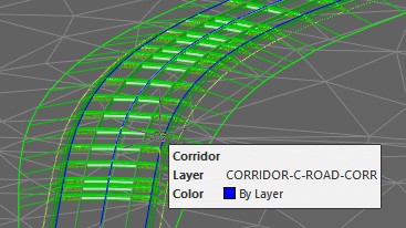
Support for Civil 3D objects
The Topoplan Module now supports the display of objects made in Civil 3D. They are no longer displayed as proxy graphics. The Properties panel edits their properties and the style of displaying them.
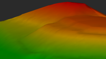
Textures applied to meshes and calculations performed
The Topoplan Module applies textures on surfaces:
- Flat Texture Overlay applies textures to surfaces from point clouds
- Raster texture mapping applies raster images as textures on surfaces
- Mesh coloring by height colors surfaces according to their elevation
- Calculating volumes between models calculates volumes of surfaces - total, difference, and balanced for excavation works
- Calculating surface volume calculates volumes of surfaces and surface areas
- Calculating area defines the areas of surface patches
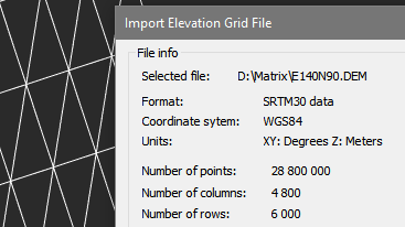
Multiple data sources for creating digital terrain models
The Topoplan Module creates digital terrain models from multiple data sources:
- Importing points from text files
- DEM imports
- Unloading points from previously imported point clouds
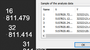
Import-Export Options
The Topoplan Module offers these import and export options:
- Import geopoints imports text files in XYZ and TXT formats
- Import from LandXML imports surfaces in LandXML format, creating mesh objects
- Export to LandXML exports surfaces (mesh objects) to the LandXML format for use in other applications
- Import from GIS imports polylines and point objects from *.SHP and *.MIF files
- Export to GIS exports polylines and point objects to *.SHP and *.MIF files
Surface and contour construction
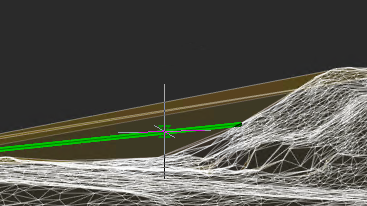
The Topoplan Module has comprehensive tools for working with surfaces and constructing contours:
- Flipping and deleting edges
- Adding, moving, changing, and deleting vertexes
- Adding structure lines
- Removing faces with edges of a certain length through mesh boundaries
Relief of the earth's surface
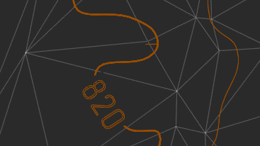
The Topoplan Module offers these tools for working with relief elements:
- Constructing contours
- Contour line removal
- Bergstriches (hatching), contour lines, and labels
- Building profile lines
- Generating 3D polyline objects on meshes
Additional surface tools
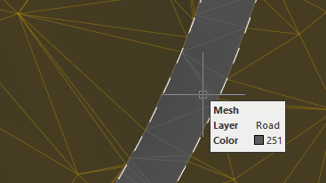
The Topoplan Module has additional tools for working with surfaces:
- Cutting meshes
- Classification of meshes that divides them into classes, such as to separate road surfaces from lawns
Additional relief element tools
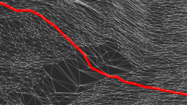
The Topoplan Module has these additional tools for working with reliefs:
- Projecting lines onto meshes
- Correcting the elevation of zero by changing elevations (Z coordinates) of 3D polylines


 De
De  Es
Es  Fr
Fr  Pt
Pt 
